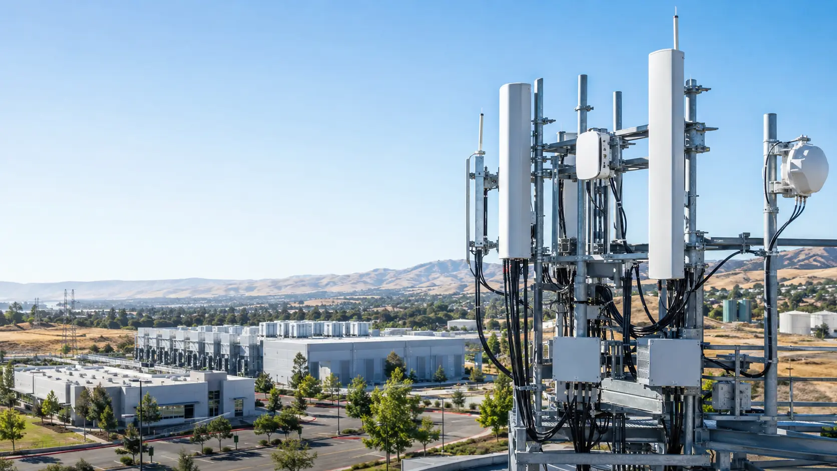
Wireless & Telecom Engineering
Planning, design, optimization and validation for MNO, private cellular, CBRS and Wi-Fi networks.
View capability →CALIFORNIA-BASED · GLOBAL ENGINEERING
eSegura combines wireless engineering, applied AI, geospatial intelligence and infrastructure advisory to turn complex network challenges into measurable decisions.
20+ years of hands-on global telecom and infrastructure experience
CORE CAPABILITIES
Specialized services for the systems our clients operate .
Planning, design, optimization and validation for MNO, private cellular, CBRS and Wi-Fi networks.
View capability →
Applied AI, analytics and decision support grounded in traceable operational data.
View capability →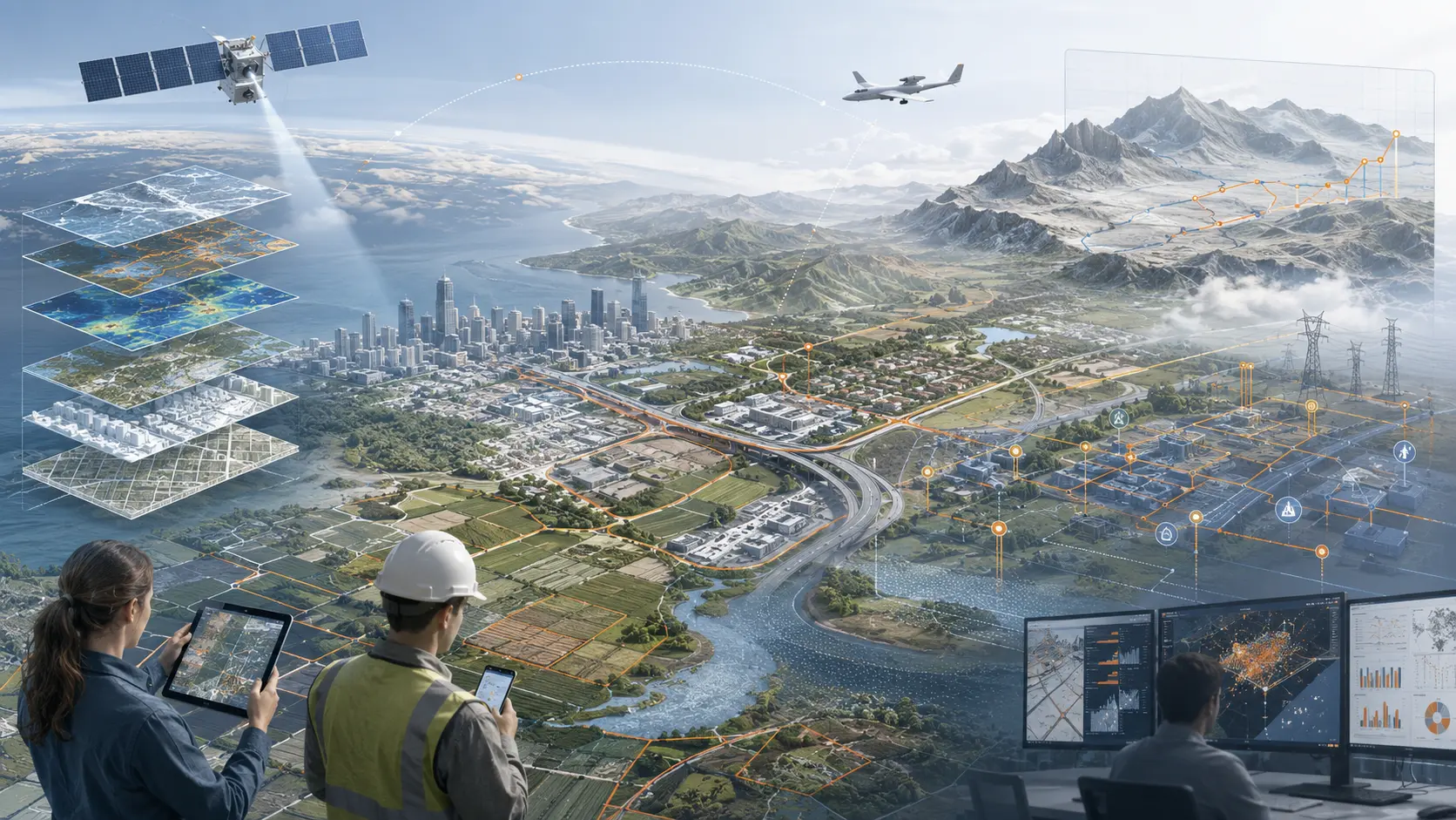
GIS, field-data platforms and spatial intelligence connecting assets, coverage and operations.
View capability →
Architecture advisory, readiness and liquid-cooling operational assessments.
View capability →
A build-with-you path to enterprise and Tier-1 readiness.
Explore accelerator →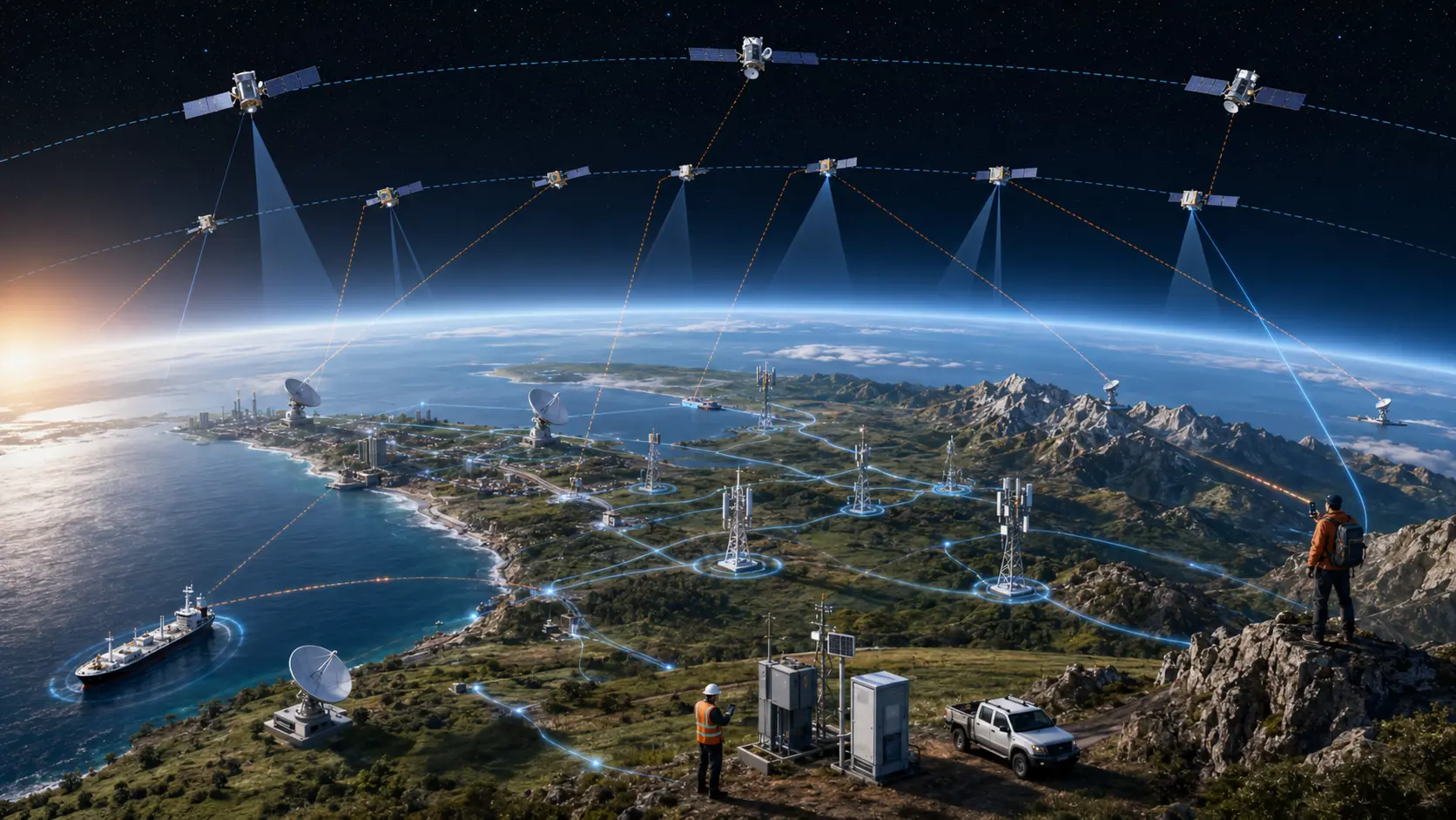
Architecture, readiness and independent validation for satellite-to-device and hybrid terrestrial/NTN services.
Explore NTN →ENGINEERING STANCE
“Device telemetry is not RF truth.”
Outcome data matters. Independent measurement explains why the outcome occurred.
“A benchmark that cannot survive the losing vendor is only a slide.”
Method, devices, routes, sample density and confidence must withstand technical challenge.
“Build a real capability—not a line on your website.”
Readiness requires people, tools, evidence, process and successful execution.
DIGITAL TWIN · BUILD · ADVISE · ENABLE
We create Digital Twins, advise organizations on the right architecture, and teach teams through the Digital Twin Academy. From physical assets to abstract operational models, every twin is designed around decisions—not visual theater.

GIS & GEOSPATIAL INTELLIGENCE
Connect land, assets, imagery, environment, field operations, movement and risk through enterprise GIS architecture, spatial data infrastructure, mobile workflows, remote sensing and GeoAI.
NTN · SATELLITE-TO-DEVICE
We help organizations understand, plan and independently validate emerging direct-to-device and hybrid terrestrial/NTN services across LEO, MEO and GEO architectures—beginning with messaging and evolving toward broader 3GPP service continuity.
SIGNALMETRICS™ · WIRELESS INTELLIGENCE
Bring RF measurements, KPIs, engineering data and geospatial context into one independent decision-support environment.
INDUSTRIES
BUSINESS ACCELERATOR
Assessment, technical enablement, proposal support and guided first-project delivery.
ASSESS → ENABLE → BUILD → DELIVER → SCALE
Explore the accelerator →