GIS Strategy & Architecture
Capability assessment, platform strategy, enterprise architecture, cloud/on-premises patterns, interoperability and phased modernization.
GIS & GEOSPATIAL INTELLIGENCE
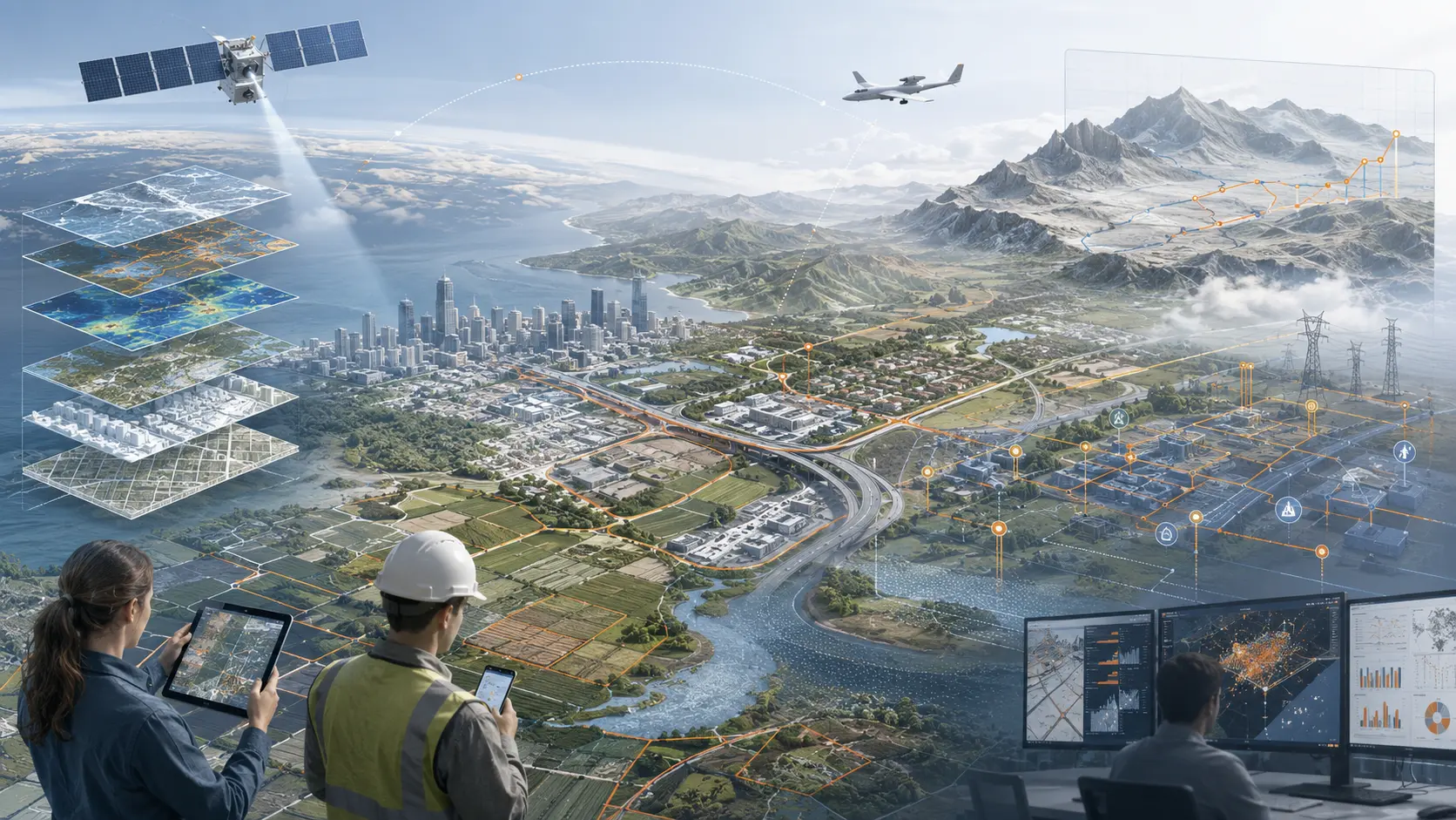
We architect enterprise GIS ecosystems that connect land, assets, environment, mobility, imagery, infrastructure and operations—transforming spatial data into shared intelligence and defensible decisions.
ENTERPRISE GIS · BUILD · MODERNIZE · ENABLE
GIS organizes authoritative location, identity, topology, time and relationships across the enterprise. We connect strategy, data engineering, applications, field operations and analytics in one coherent architecture.
Capability assessment, platform strategy, enterprise architecture, cloud/on-premises patterns, interoperability and phased modernization.
Web GIS, mobile applications, operational dashboards, automated geoprocessing and role-specific decision experiences.
Spatial analytics, GeoAI, remote sensing, 3D/4D context, scenario analysis and reusable spatial decision services.
A COMPLETE GIS PRACTICE
Enterprise geodatabases, services, catalogs, metadata, lineage, coordinate reference systems and governed data products.
Topology, linear referencing, utility and transportation networks, facilities, parcels and spatially enabled asset management.
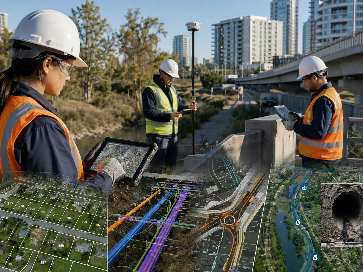
Offline-first inspection, survey-grade positioning, forms, media, routing, synchronization and quality-controlled field updates.
Satellite, aerial, drone and LiDAR workflows for change detection, condition assessment, land use and environmental monitoring.
Spatial ML, computer vision, clustering, suitability, accessibility, network analysis, forecasting and risk surfaces.
Terrain, buildings, subsurface infrastructure, BIM integration and time-aware spatial representations for planning and operations.
APIs, OGC services, event streams and integration with EAM, ERP, IoT, Digital Twin and business intelligence platforms.
One application among many: coverage, network assets, drive/walk tests, service areas and location-aware assurance.
FIELD · OFFICE · ENTERPRISE
We design the complete spatial lifecycle: acquisition, validation, transformation, publishing, analysis and operational feedback. Every feature retains identity, accuracy, temporal context and lineage so the same trusted data can serve planning, maintenance, risk, compliance and Digital Twin workflows.